LOCAL COVERAGE / BIRMINGHAM & NEARBY
Commercial Drainage
Areas Covered.
City-centre premises, industrial districts and nearby business locations.
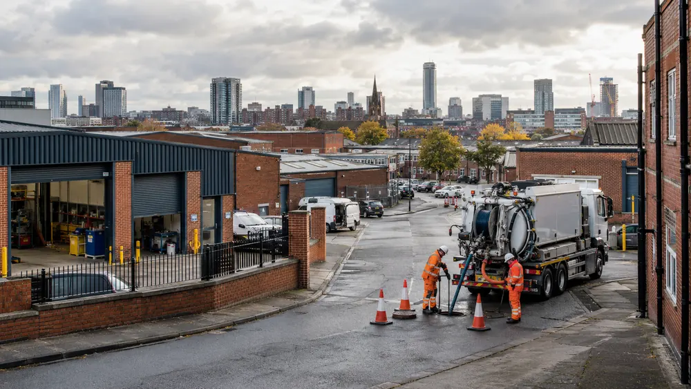
Start With Your Premises Postcode.
We welcome commercial drainage enquiries across Birmingham and these nearby districts and towns. Availability, site access and the required equipment are confirmed for each job. The local references below describe the area, with no suggestion that the named places are customers.
Birmingham City Centre
Colmore Row and Snow Hill form part of the city-centre business district. Nearby Livery Street is included in the council’s Snow Hill public realm programme.
For offices and hospitality premises, tell us about shared access and building management arrangements.
Local area reference ↗Aston
Aston is home to the Advanced Manufacturing Hub. The council’s economic zones brochure identifies the hub with the Birmingham J6-M6 location.
For manufacturing premises, describe vehicle movements and any process discharge connected to the drain.
Local area reference ↗Tyseley
Tyseley hosts the Birmingham Energy Innovation Centre and a hydrogen refuelling pilot site. The council describes the district as an industrial area.
For industrial sites, share induction requirements and the location of inspection access.
Local area reference ↗Witton
Witton is identified as the Food Hub in Birmingham’s economic zones programme. Birmingham Wholesale Markets relocated to The Hub in Witton.
Food-handling premises should explain washdown arrangements and any grease interception.
Local area reference ↗Longbridge
The Longbridge Area Action Plan includes the former MG Rover site and Cofton Park. The plan also records the development of the Technology Park.
Tell us whether the affected drain serves a single unit or a wider managed development.
Local area reference ↗Edgbaston
The University of Birmingham has its Edgbaston campus here. The campus visitor map identifies the Cancer and Genomic Sciences building within that campus.
For managed institutional premises, include the facilities contact and any controlled access requirements.
Local area reference ↗Selly Oak
The council’s development plan groups Selly Oak with South Edgbaston. It identifies a Life Sciences Campus at the northern end of the Birmingham Battery site.
Share existing drainage plans where available, especially for premises with several connected buildings.
Local area reference ↗Digbeth
The Custard Factory reception is on Gibb Street. The Digbeth contact directory also lists premises on Fazeley Street.
For creative workspaces and food premises, explain shared courtyard access and operating hours.
Local area reference ↗Jewellery Quarter
Golden Square sits at the corner of Warstone Lane and Vyse Street. The Chamberlain Clock is beside the square.
For workshops and retail premises, describe restricted rear access and any shared drain runs.
Local area reference ↗Erdington
Fort Dunlop sits on the A47 Fort Parkway. Its location guide places it between junctions 5 and 6 of the M6 and identifies Erdington as the nearest railway station.
For offices and commercial yards, tell us where equipment can be positioned without obstructing deliveries.
Local area reference ↗Solihull
Birmingham Business Park is in the Solihull area, with access to the M42 and nearby Birmingham Airport. Its official website provides the park location and visitor information.
For business park premises, confirm security arrangements and whether the estate manager needs to approve access.
Local area reference ↗LET’S LOOK AT THE PROBLEM